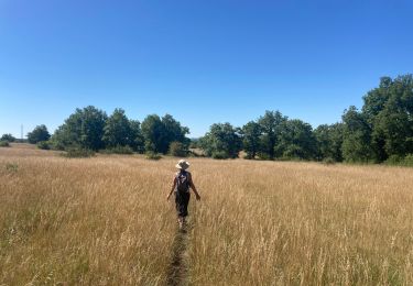
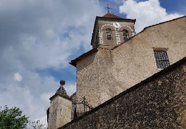
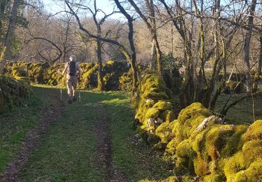
6,5 km | 8,1 km-effort
vtt
bellouelo46
Gebruiker
Lengte
43 km
Max. hoogte
380 m
Positief hoogteverschil
902 m
Km-Effort
55 km
Min. hoogte
119 m
Negatief hoogteverschil
901 m
Boucle
Ja
Datum van aanmaak :
2022-07-10 06:02:07.621
Laatste wijziging :
2022-07-10 09:58:06.198
3h53
Moeilijkheid : Medium
Gratisgps-wandelapplicatie
Over ons
Tocht Mountainbike van 43 km beschikbaar op Occitanië, Lot, Le Bastit. Deze tocht wordt voorgesteld door bellouelo46.
Plaatsbepaling
Land:
France
Regio :
Occitanië
Departement/Provincie :
Lot
Gemeente :
Le Bastit
Locatie:
Unknown
Vertrek:(Dec)
Vertrek:(UTM)
394254 ; 4952900 (31T) N.
Opmerkingen
Wandeltochten in de omgeving
Le bastit carlucet
Stappen
Heel gemakkelijk
Montfaucon,
Occitanië,
Lot,
France
20 km | 25 km-effort
4h 11min
Ja
Reihlac
Stappen
Heel gemakkelijk
(1)
Reilhac,
Occitanië,
Lot,
France
9 km | 10,5 km-effort
2h 34min
Ja
Carlucet_le Bastit
Stappen
Medium
Carlucet,
Occitanië,
Lot,
France
15,4 km | 18,4 km-effort
5h 14min
Ja
reilhac
Andere activiteiten
Heel gemakkelijk
(1)
Reilhac,
Occitanië,
Lot,
France
17,4 km | 20 km-effort
4h 0min
Ja
Autour de Reilhac
Stappen
Heel gemakkelijk
Reilhac,
Occitanië,
Lot,
France
10,6 km | 12,6 km-effort
3h 11min
Ja
Les Segalières Parc Animalier de Gramat
Stappen
Heel gemakkelijk
Gramat,
Occitanië,
Lot,
France
5,1 km | 5,7 km-effort
5h 43min
Ja
Rando-Cyclo6-Rocamadour-63km-Juin21
Wegfiets
Zeer moeilijk
Le Bastit,
Occitanië,
Lot,
France
63 km | 79 km-effort
4h 47min
Ja